|
|
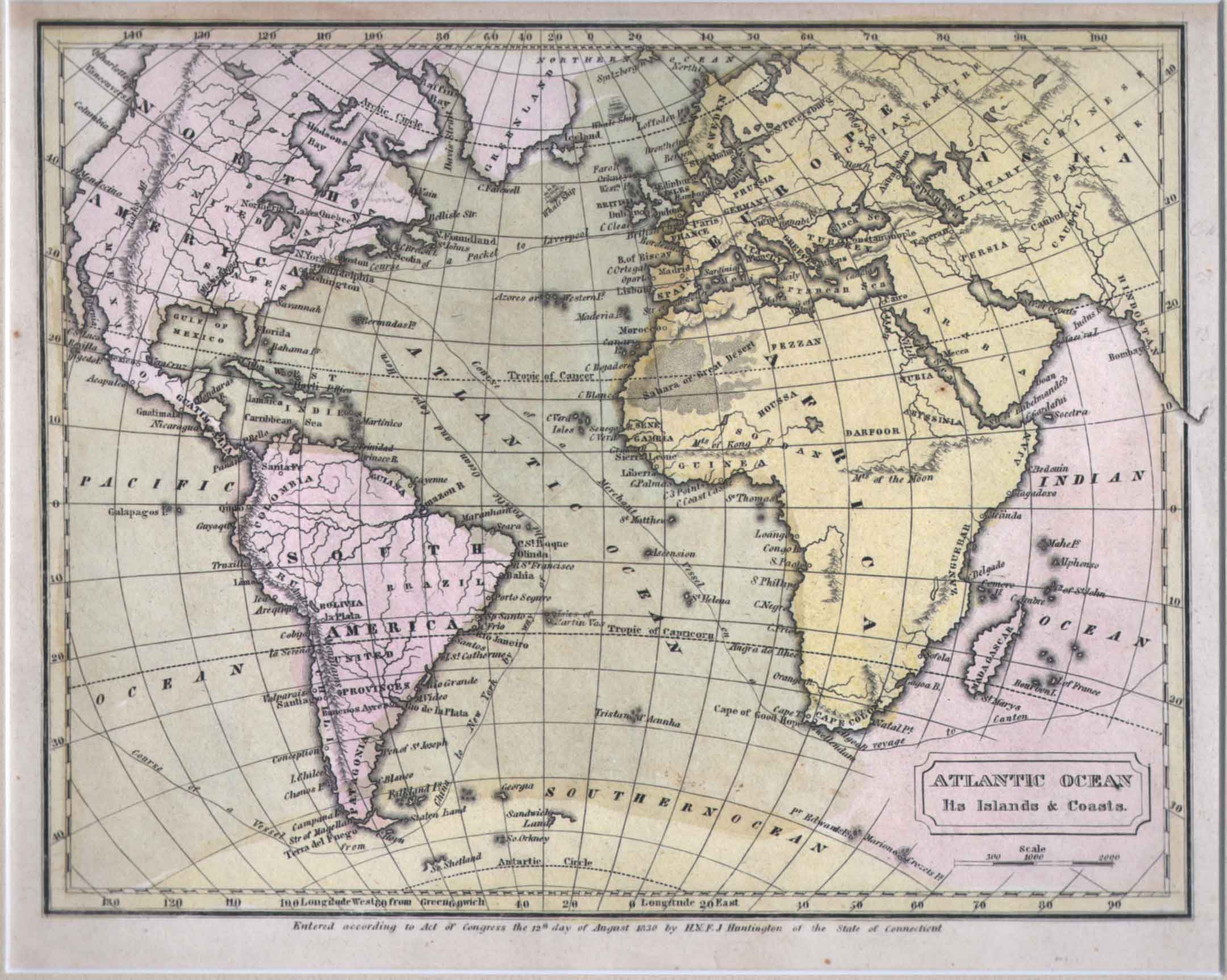
Maps and Cartography - World
Map of Atlantic Ocean (1830)Size: 8.25 H x 10.25 W inches Source: ‘Atlas’, Designed To Illustrate The Malte-Brun School Geography. Goodrich, S. Griswold, Published by Huntington, F. J. : Huntington's Atlas, Hartford, 1830 Item #: 81160 $260 |