|
|
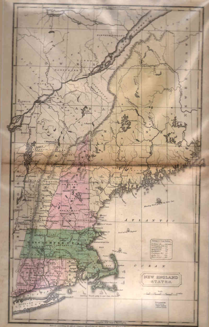
Maps and Cartography - North America
Map of New England States (1830)Size: 16.75 H x 10.63 W inches Source: ‘Atlas’, Designed To Illustrate The Malte-Brun School Geography. Goodrich, S. Griswold, Published by Huntington, F. J. : Huntington's Atlas, Hartford, 1830 Item #: 81127 Ca. 1830; Map of New England States, Entered according to Act of Congress the 12th day of August 1830 by H.N.F. J. Huntington of the State of Connecticut. Showing Vermont, Massachusetts, New Hampshire, Maine, Connecticut $340 |