|
|
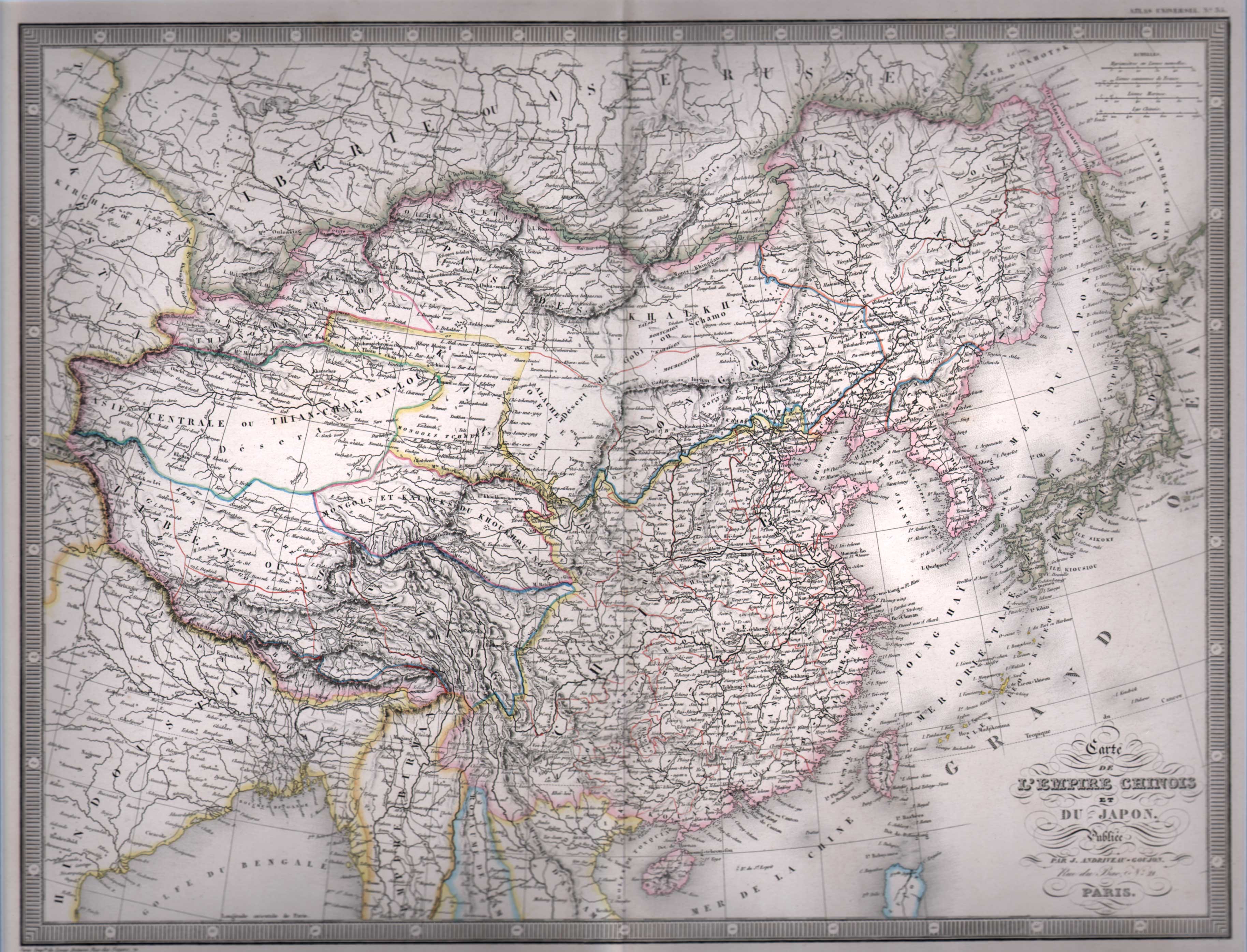
Maps and Cartography - Asia
Carte de L'Empire Chinois et Du Japon (1855)By: Louis Antoine Size: 16.00 H x 20.25 W inches Source: Atlas Classique et Universel de Geographie, Ancienne et Moderne. Published by J. Andriveau-Goujon. Paris, 1855 Item #: 81228 A wonderful steel engraved map hand-colored in outline showing boundries, rivers, cities, towns, rivers, mountain ranges, etc. surrounded by classic “piano key” border. $250 |