|
|
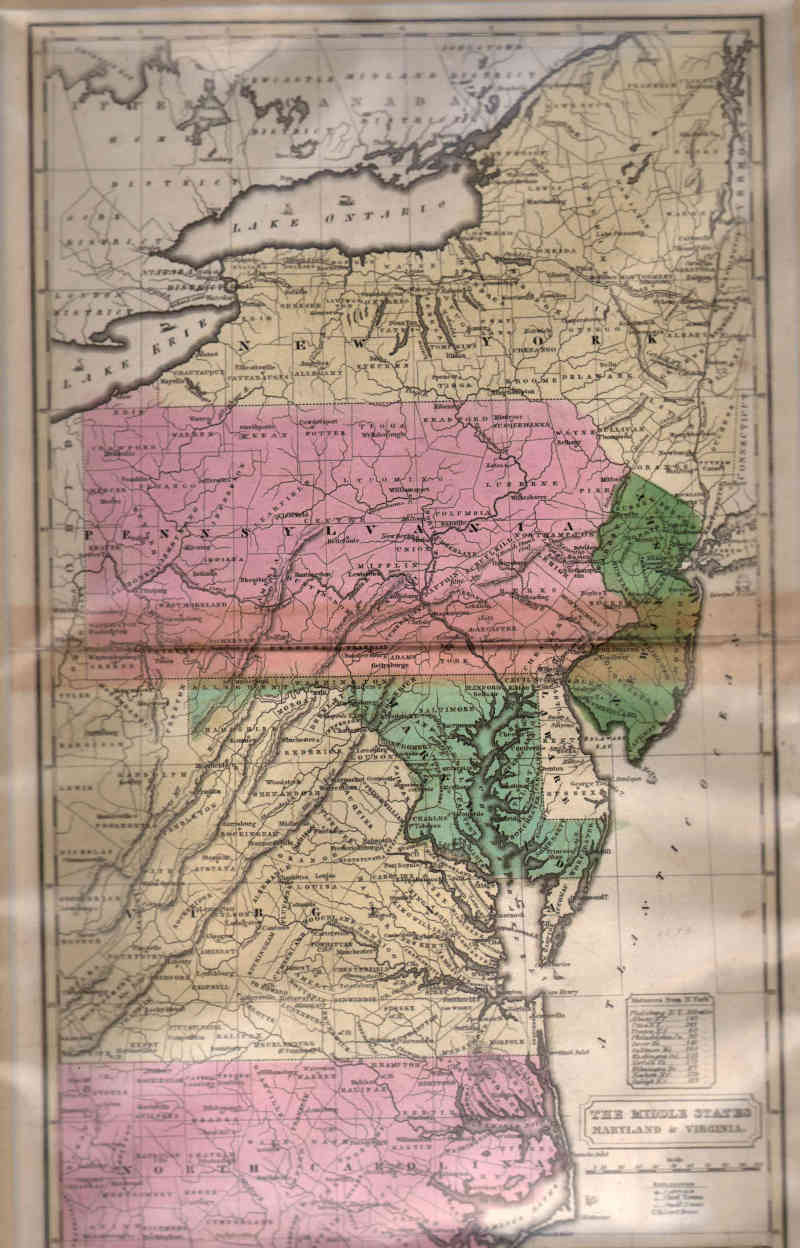
Maps and Cartography - USA
Map of The Middle States and Maryland & Virginia (1830)Size: 16.75 H x 10.38 W inches Source: ‘Atlas’, Designed To Illustrate The Malte-Brun School Geography. Goodrich, S. Griswold, Published by Huntington, F. J. : Huntington's Atlas, Hartford, 1830 Item #: 81121 Map of the Middle States of the US circa 1830, notable for showing West Virginia as part of Virginia. $325 |