|
|
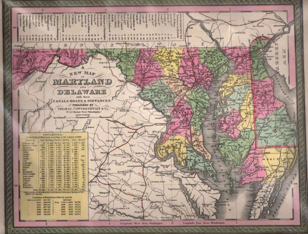
Maps and Cartography - USA
Map of Maryland and Delaware (1850)Size: 12.44 H x 15.25 W inches Source: Mitchell's Universal Atlas: A New Universal Atlas Containing Maps of the Various Empires, Kingdoms, States and Republics of the World, with Special Map of Each of the United States, Plans of Cities, &c. Published by Thomas, Cowperthwait & Co., Philadelphia, 1854 Item #: 81099 $395 |